About Boating Hubs
We gather boat launches, river levels and NOAA wind, tide and wave readings and put them on one free map, beside the marinas and charters you can book. The people who keep boats moving get one dashboard to run their business.
On the map
What we’ve mapped
Built from public data and from the businesses themselves, with the source kept on every record. All of it sits on one free map, and you never need an account to use it.
- Marinas & operators
- 1,601
- Boat launches
- 8,848
- Rivers
- 43,206 mi
- Beaches & rapids
- 3,364
- Ramps, trailheads & visitor centers
- 712
Our story
Why we built this
A day on the water starts with three questions: where to launch, what the wind and tide are doing, and who to call if you want a captain. The answers have always lived on different sites.
Boating Hubs puts them together. Boat launches, rivers with live gauges, beaches and rapids come from the agencies that publish them, NOAA wind, tide and wave readings sit beside launches and marinas, and the GoHubs app keeps recording your track with no signal.
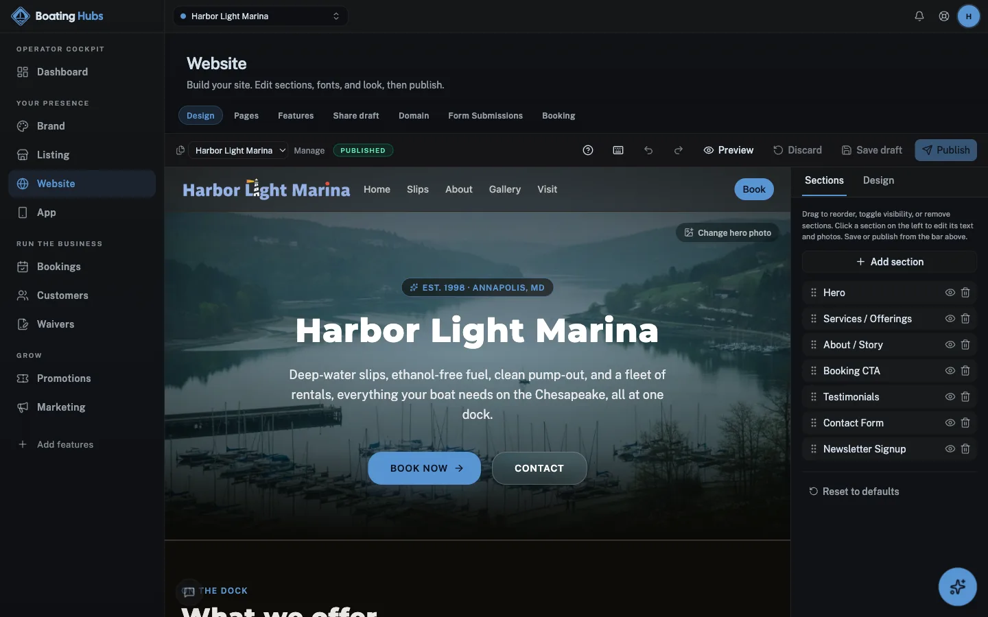
Marinas and charters still run on whiteboards, VHF and a waiver binder. Adding a listing is free, and one dashboard covers the rest: a website, charter bookings, waivers signed from the parking lot instead of the gunwale, and a way to reach everyone booked on a departure when the weather turns.
What we believe
Conditions before you launch
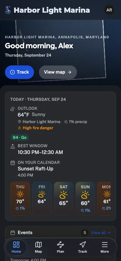
Wind, tide and wave readings from NOAA beside every launch and marina, so you can make the go or no-go call before you hitch up.
Tracks that survive no signal
GPS tracks keep recording with no bars at all and sync when you are back in coverage.
Guest-friendly
Guests book online and get the waiver with their confirmation, so they sign on their phone before they reach the dock.
From dock to deep water
A six-passenger charter and a marina use the same listing, website and booking tools. Turn on the parts your operation needs.
Watch
GoHubs in one minute.
Every activity, one free app. See the map, conditions, route planner and trails in action.
The network
Part of the Great Outdoor Hubs network
Great Outdoor Hubs is the company behind a family of outdoor activity sites and one free app, GoHubs. Our work starts with data. Trails and forest roads, rivers and live gauges, tides and marine forecasts, public land, campgrounds and fish stocking all come from the agencies that publish them, and we keep the source attached.
Then we make it useful. The same data runs the maps, conditions, planners and listings on every site, and goes into the field with the GoHubs app, whose GPS tracks keep recording with no signal. Every site shares one platform, so a tool built for one activity reaches the rest.
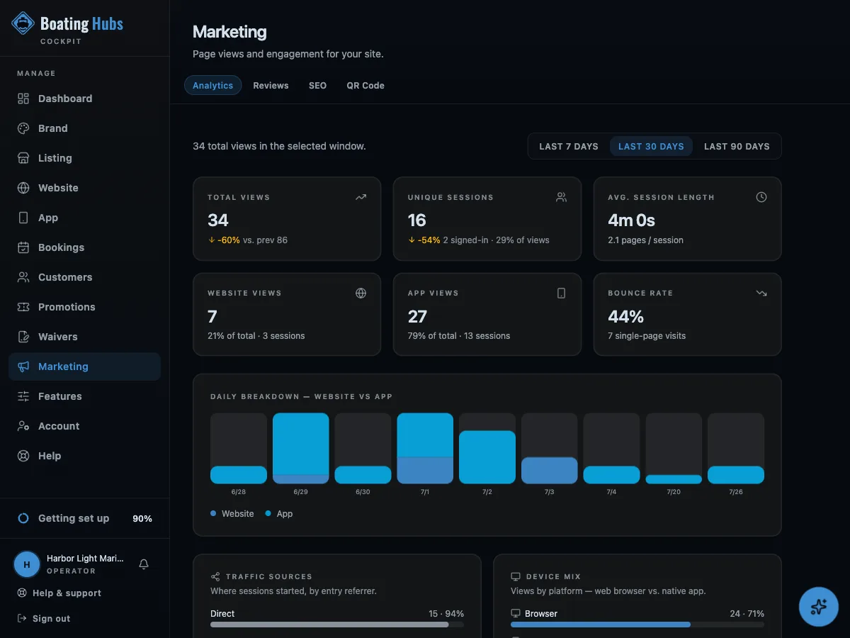
Outdoor businesses get the other half: one dashboard for their listing, website, bookings, waivers, customers and marketing, plus their own hub inside GoHubs. It is written in plain words for people who would rather be outside than at a desk, and their subscriptions are what keep the maps and tools free for everyone else.
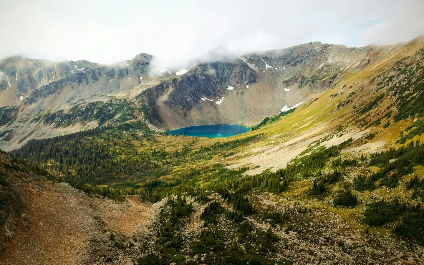
The shared platform powering fifteen outdoor community brands.

Get started
Put Boating Hubs to work
The same toolkit that runs operators across the network is ready for yours. Start free. No card, no contract.