Around here
Around St. Marys Waterfront
Loading map…
- Mainland Visitor CenterVisitor centerunder 0.1 mi (opens in a new tab)
- Cumberland Island National SeashoreRecreation area11.2 mi (opens in a new tab)
- Timucuan Ecological & Historic PreserveRecreation area17.4 mi (opens in a new tab)
- Timucuan Preserve Visitor Center at Fort CarolineVisitor center23.3 mi (opens in a new tab)
Data Source: Recreation.gov · Source: USGS GNIS · Source: National Park Service. No claim to original U.S. Government works. · Public land: USGS PAD-US
On St. Marys River. See every mapped launch on it.
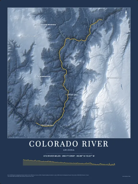
Made to print
Put St. Marys River on your wall
The water here as an art print: the shoreline, the rivers, lakes and sea around it and the land behind them, drawn from real elevation, USGS and OpenStreetMap data. Frame it tighter or wider before you print. Pick the colors and the size, and see the finished print before you buy. From $39, shipping included.
Make the posterOrder by December 8 for Christmas delivery.
More launches near St. Marys Intracoastal Gateway Marina.
Browse all boat launches