Boat Launch Finder
Boat Launches in Maryland
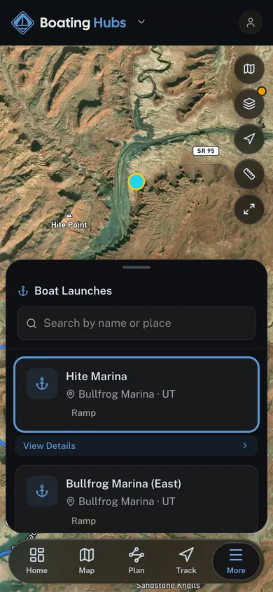
Community-mapped public boat launches across Maryland. Ramps and hand-launches with the nearest marina, on a map. Add your own from the app.
165 launches
The map plots all 165 launches. The 24 on this page are highlighted.
Boat launch access
Launching a boat in Maryland
Boating Hubs maps 112 boat launches in Maryland across 74 named waters. 87 are public access, and 25 are semi-private, so access may be limited to residents, members or permit holders. Every launch on this page carries its coordinates, so you can route to the ramp rather than to the lake.
Busiest waters in Maryland
- Chesapeake Bay (6)
- Chester River (5)
- Youghiogheny River - Youghiogheny River Lake (5)
- Bush River (4)
- Bear Creek (3)
- Fishing Bay (3)
- Parish Creek (3)
- Patuxent River (3)
- St. Marys River (3)
- Back River - Hawk Cove (2)
- Cadle Creek (2)
- Combs Creek (2)
Common questions about Maryland boat launches
- How many public boat launches are there in Maryland?
- Boating Hubs maps 112 boat launches in Maryland across 74 named waters. 87 are public access and 25 are semi-private, meaning access may be limited to residents, members or permit holders.
- Which waters in Maryland have the most boat launches?
- By mapped launch count: Chesapeake Bay (6), Chester River (5), Youghiogheny River - Youghiogheny River Lake (5), Bush River (4) and Bear Creek (3). Counts are the number of separate ramps and hand launches on each water, not the number of lanes.
- Is there a fee to use boat launches in Maryland?
- Launch fees are set by whoever manages the ramp, and Boating Hubs does not hold fee data for Maryland yet, so check the managing agency or marina before you tow. Ramps marked semi-private may also require a permit or membership.
State rankings
- Free to browse
- Community-sourced launches
- Open in the app to save and track
Launch data from the USGS National Boat Ramps dataset, released into the public domain (CC0). Confirm ramp conditions, fees, and seasonal access locally before you launch.
More free tools
Other tools in this kit

Everything Map
Listings, trails, spots, clubs and public land on a single full-screen map. Switch layers on and off, then tap any point for the details.
Open Everything MapRiver Explorer
Explore named rivers from the USGS hydrography dataset. Filter by water type or whitewater class.
Open River ExplorerRoute Planner
Drop stops on a map and watch distance and drive time add up. Export a GPX or share the link.
Open Route PlannerBoat Clubs
Browse local clubs with meeting info and how to join, or start your own for free.
Open Boat ClubsLive Conditions
Real-time conditions spot by spot, pulled from public weather feeds, before you commit to the drive.
Open Live ConditionsMarine Forecast
Swell, wind, and tide for the days ahead, broken out by spot. Free, no paywall.
Open Marine Forecast