Powerboating · Arkansas
Powerboating in Arkansas
1 operator across Arkansas.
Arkansas boating
Clear water is Arkansas's calling card. The big reservoirs tucked into the Ozark and Ouachita Mountains (Lake Ouachita, Greers Ferry, Beaver Lake, Lake Norfolk), run deep and clean, ringed by forest instead of development, and the Arkansas River carries navigable water clear across the state. A solid network of marinas keeps all of it accessible, with fuel, slips, and launch points positioned where boaters actually need them in the Natural State.
Each lake has its own personality. Lake Ouachita, near Hot Springs, is the wild one, undeveloped islands and water clean enough that the shoreline still feels like backcountry. Greers Ferry, in the Ozark foothills, pairs dramatic bluffs with serious fishing. Beaver Lake opens onto the Ozark Highlands to the north, while Lake Norfolk and Bull Shoals, up on the Missouri border, are deep, cold, and famously clear, the kind of water that keeps anglers and cruisers coming back season after season.
About powerboating
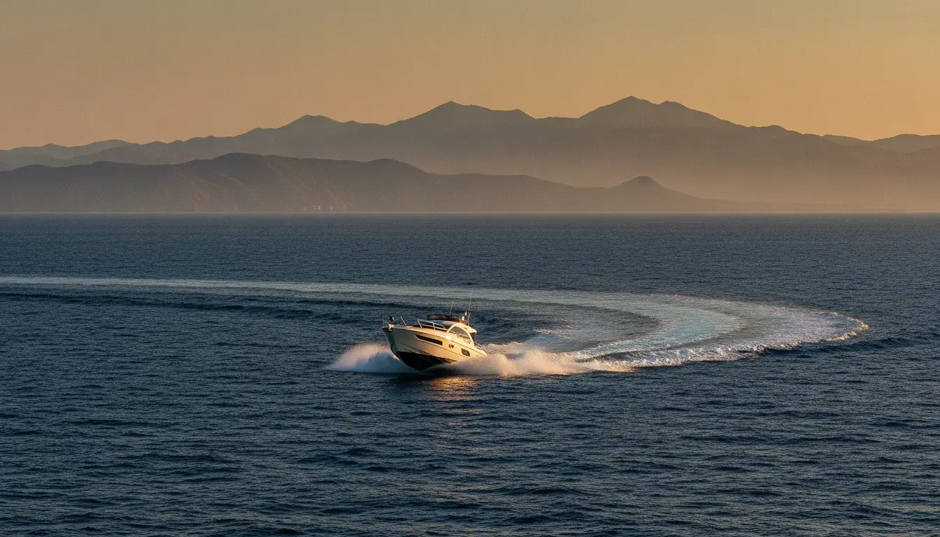
Powerboat charters, fast cruises, and motor-yacht day trips.
Quick facts
- Best season
- March through November
Operators
Powerboating charters
Loads the full map of every listing on this page. We leave it off by default so the page opens fast on mobile data.
Resources
More to explore in Powerboating
Hand-picked clips from the community, sorted by what you do.
Videos worth watching
Hand-picked clips, sorted by what you do.
Learn How to Sail: A Step-by-Step Guide to SAILING
Josh Post
Docking A SINGLE Engine Boat SIDEWAYS!
Born Again Boating
All Boaters Must Know This! ~ How To Navigate the ICW | Boating 101 Navigation Tutorial
ReelReports
Boating for Beginners - Boating Basics - How to Drive a Boat
Flukemaster
HOW TO: Launch and retrieve a boat by yourself
Boating With Brad
BOATING 101 - How to drive a boat & use trim tabs | Gale Force Twins
Gale Force Twins
Free tools
Your free outdoor toolkit

Everything Map
Listings, trails, spots, clubs and public land on a single full-screen map. Switch layers on and off, then tap any point for the details.
Open Everything MapRiver Explorer
Explore named rivers from the USGS hydrography dataset. Filter by water type or whitewater class.
Open River ExplorerBoat Launches
Find public boat ramps and hand-launches on a map, with the access details that matter.
Open Boat LaunchesRoute Planner
Drop stops on a map and watch distance and drive time add up. Export a GPX or share the link.
Open Route PlannerBoat Clubs
Browse local clubs with meeting info and how to join, or start your own for free.
Open Boat ClubsPhoto ID
Point your camera at whatever you found and get a structured identification. No signup.
Open Photo ID



