Tubing · Virginia
Tubing in Virginia
1 operator across Virginia.
Virginia boating
The Chesapeake Bay makes Virginia. Thousands of miles of protected shoreline run along the state's eastern flank, laced with rivers and creeks (the James, the York, the Rappahannock), that lead to waterfront towns like Urbanna, Deltaville, and Onancock, each with its own maritime habits and its own reasons to stay an extra night. You can cruise here, sail here, fish here, and rarely repeat a route. Marinas around the Bay keep transient slips, fuel docks, and repair yards ready for vessels of every size.
Push past the Bay's shelter and the Atlantic takes over. Around Virginia Beach and the gateway to the Outer Banks, deep-sea charters run daily and bigger yachts stretch out along the coast. Norfolk and Portsmouth anchor the region's working waterfront: large marinas, yacht clubs, and shipyards that can handle serious vessel maintenance, not just a wash and wax. Between calm estuary and open ocean, the state covers the full range: an easy afternoon daysail one weekend, an offshore run the next.
About tubing
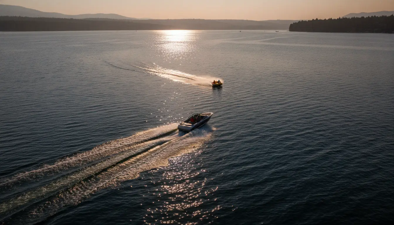
Towed tubing and family-friendly watersports excursions.
Quick facts
- Best season
- April through November
Operators
Tubing charters
Loads the full map of every listing on this page. We leave it off by default so the page opens fast on mobile data.
Resources
More to explore in Tubing
Hand-picked clips from the community, sorted by what you do.
Videos worth watching
Hand-picked clips, sorted by what you do.
Testing Illegal Tubing Raft..
Funk Bros
How to Safely Pull a Tube Behind a Boat
Len's Cove Lessons in Boating
EXTREME TUBING 2023 | CRAZY WIPEOUTS & TRICKS
DML Tubes
From Dirt To Water: Extreme Tubing | The Deegans
The Deegans
How to Pull a Tuber
MalibuManiac
Water Tubing in a Tiny Boat | How to set it up.
Tiny Boat Nation
Free tools
Your free outdoor toolkit

Everything Map
Listings, trails, spots, clubs and public land on a single full-screen map. Switch layers on and off, then tap any point for the details.
Open Everything MapRiver Explorer
Explore named rivers from the USGS hydrography dataset. Filter by water type or whitewater class.
Open River ExplorerBoat Launches
Find public boat ramps and hand-launches on a map, with the access details that matter.
Open Boat LaunchesRoute Planner
Drop stops on a map and watch distance and drive time add up. Export a GPX or share the link.
Open Route PlannerBoat Clubs
Browse local clubs with meeting info and how to join, or start your own for free.
Open Boat ClubsPhoto ID
Point your camera at whatever you found and get a structured identification. No signup.
Open Photo ID



