
Marinas · Maine
Marinas in Maine
Cruise 14 marinas across Maine. Maps, hours, contact info, photos, and verified operator profiles, all in one place.
Rocky coast, the North Woods, and Acadia.
About Maine
Best time to go
When to cruise in Maine
June through October. Peak fall color late September to mid-October.
- June–September: the main boating season
- September: often the best weather of the year
- Watch for fast-moving summer thunderstorms
14 on the map
Tap a pin to open its profile.
Quick facts
- Boat launches mapped
- 171
- Rivers mapped
- 101
- Marinas listed
- 14
- Best season
- June through October
All listings
14 marinas
across Maine
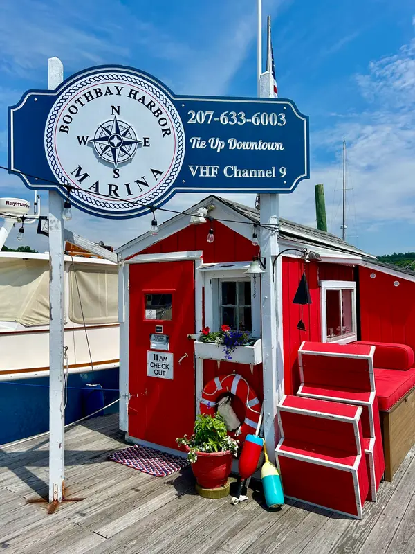
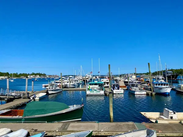
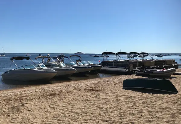
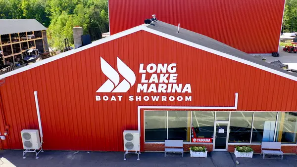
Watch it live
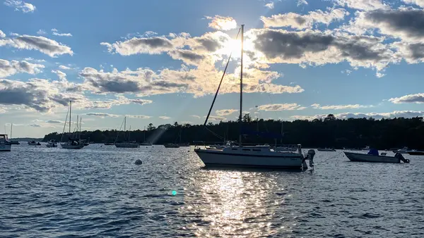
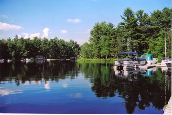
Live webcams in Maine
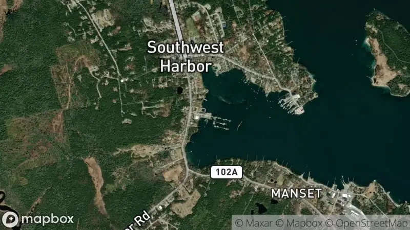 Location
Southwest Harbor
via Bar Harbor Cam
Watch livePlan your trip
Plan your trip to Maine
Signature Waters & Boating Season
Maine's primary boating season runs from late May through early October, focusing on the intricate coastline of the Gulf of Maine, including Penobscot Bay, Casco Bay, and Muscongus Bay. Inland lakes like Moosehead and Sebago offer warmer freshwater alternatives.
Slip & Transient Dockage
Demand for transient slips and moorings is exceptionally high during July and August. Advance reservations are strongly recommended, often several months ahead, especially in popular destinations like Camden, Boothbay Harbor, and Bar Harbor.
Fuel & Pump-Out Access
Most coastal marinas offer gasoline and diesel fuel, along with pump-out services. Availability may be more limited in remote areas or on smaller inland lakes; planning fuel stops is crucial.
Weather & Wind Considerations
Maine's weather can be unpredictable, with frequent fog, strong tidal currents, and rapidly changing wind conditions. Mariners should monitor marine forecasts closely, be prepared for cooler temperatures even in summer, and understand local navigation challenges.
Charts & Navigation
Detailed charts are essential for navigating Maine's complex coastline, which features numerous islands, ledges, and shoals. GPS and electronic navigation systems are invaluable, but traditional paper charts and local knowledge are highly recommended.
Confirm current requirements with the state agency before your trip. Rules and fees change every season.
Vessel Registration
All motorized vessels, including personal watercraft, operating on Maine waters must be registered with the Maine Department of Inland Fisheries & Wildlife (MDIFW). Registration numbers and validation stickers must be displayed as required.
Boater Education Card
Operators born on or after January 1, 1999, must complete an approved boater safety course to operate a motorboat greater than 25 horsepower. The MDIFW provides information on accepted courses.
Fishing License
A valid Maine fishing license is required for anyone 16 years or older to fish in Maine's inland waters. For saltwater recreational fishing, a state registration or federal permit may be required, depending on species and gear; verify with the Maine Department of Marine Resources.
Marine Sanitation Devices (MSD) & No Discharge Zones
Maine has several federally designated No Discharge Areas (including Casco Bay, the Boothbay region, Kennebunk-Wells, southern Mount Desert, and West Penobscot Bay), where discharging any vessel sewage, even treated, is prohibited. Elsewhere, federal law still bars discharging untreated sewage from any vessel within all U.S. navigable waters (out to three miles from shore). Vessels must have a properly operating MSD that stores waste for pump-out.
- 01
Choose Your Region and Vessel Type
The busy southern coast, the classic Midcoast, the remote Down East shore, and the inland lakes each cruise differently, pick your ground first, then decide whether you're trailering your own boat or chartering. Marina access varies a lot between them.
- 02
Understand Maine's Boating Regulations
Check the Maine Department of Inland Fisheries & Wildlife (MDIFW) requirements for vessel registration, boater education, and fishing licenses before you launch. The No Discharge Zone rules deserve particular attention, they apply everywhere in Maine.
- 03
Plan Your Itinerary and Book in Advance
In July and August a slip or mooring without a reservation is wishful thinking. Book marinas, moorings, and charters early. Sketch out anchorages, fuel stops, and pump-out points along your route while you're at it.
- 04
Prepare for Navigation and Weather
Fog, hard-running tides, and unmarked ledges are the price of admission here. Carry current charts and dependable navigation gear, watch the marine forecast, and pack layers, a Maine summer afternoon can feel like two different seasons.
- 05
Familiarize Yourself with Local Customs and Hazards
Lobster pot buoys carpet the coastal waters, keep a lookout and thread carefully. Respect private islands, and give commercial fishing boats the room and courtesy of vessels that are out there working.
01How many marinas are listed in Maine?
02What is the best time of year to go boating in Maine?
03Are there many options for boat charters in Maine?
04Can I bring my own boat to Maine?
05What are the unique navigational challenges in Maine waters?
06How do I find available marina slips or moorings?
07Are there pump-out facilities readily available along the coast?
Free tools
Your free outdoor toolkit

Everything Map
Listings, trails, spots, clubs and public land on a single full-screen map. Switch layers on and off, then tap any point for the details.
Open Everything MapRiver Explorer
Explore named rivers from the USGS hydrography dataset. Filter by water type or whitewater class.
Open River ExplorerBoat Launches
Find public boat ramps and hand-launches on a map, with the access details that matter.
Open Boat LaunchesRoute Planner
Drop stops on a map and watch distance and drive time add up. Export a GPX or share the link.
Open Route PlannerBoat Clubs
Browse local clubs with meeting info and how to join, or start your own for free.
Open Boat ClubsPhoto ID
Point your camera at whatever you found and get a structured identification. No signup.
Open Photo ID

Keep exploring


