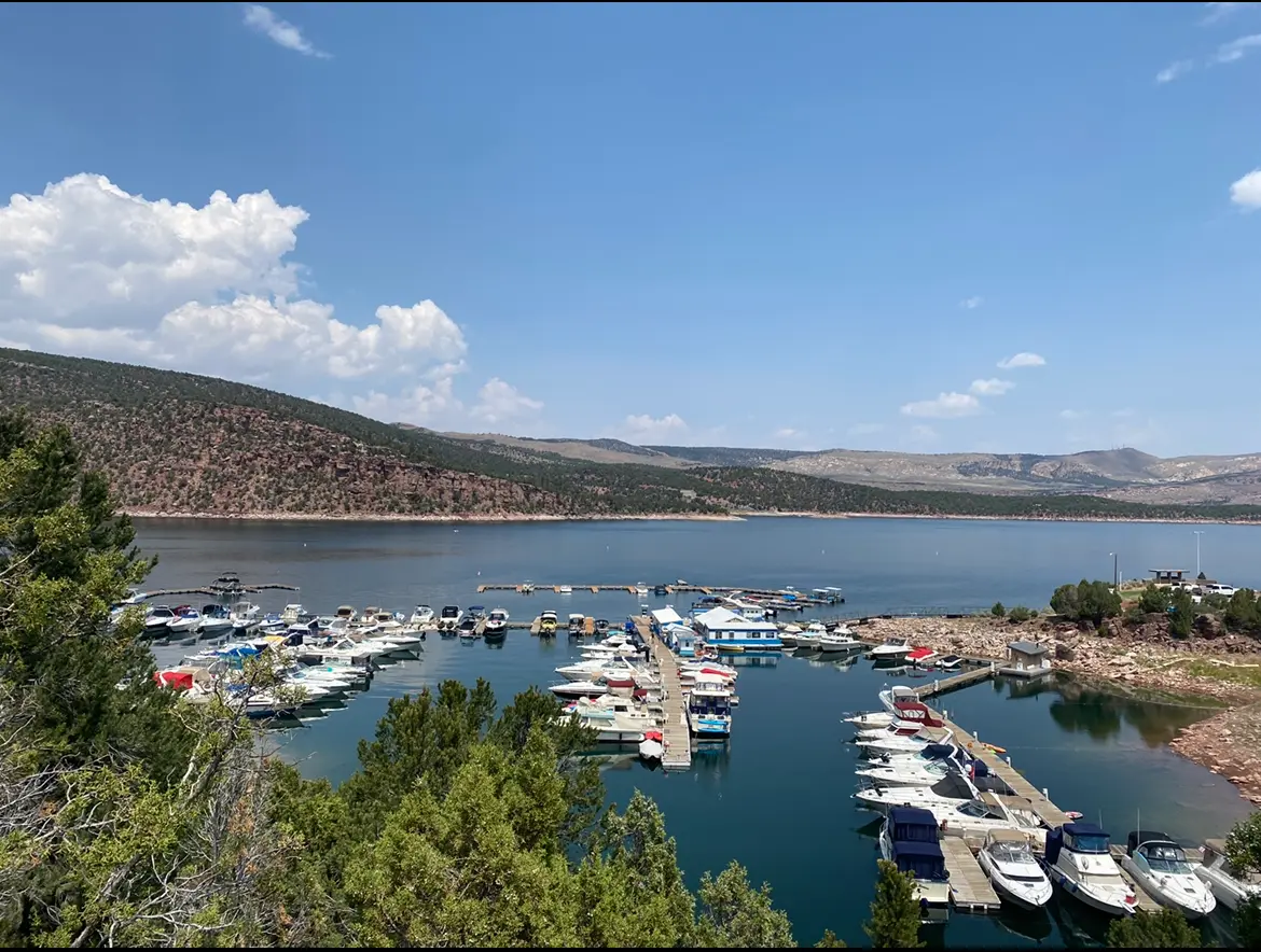
Cedar Springs Marina
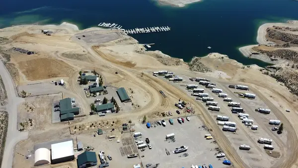
Cedar Springs Marina is a marina in Dutch John, Utah. Boat rentals, guided fishing trips, and lake tours are available.
Gallery
Operator details
- Vessels
- Powerboat
Boat launches near Cedar Springs Marina
Loads the full map of the boat launches near this listing. We leave it off by default so the page opens fast on mobile data.
Boater reviews
What boaters are saying
- WWade Mease· 2 months ago
There were several things that made this a great trip. First off when you get there, they provide carts that allow you to pack all of your stuff down to the boat with ease for someone with bad legs that was wonderful. Even though the boat was a little older, it was in great condition and worked perfectly. The staff was extremely helpful and explaining everything checking us in and checking us out and helping anyway they could. Would highly recommend if you’re in this area looking for a fun time to go catch some fish or just boat around give these guys your business they will take great care of you
- MMoe Wooten· a month ago
We had a great experience! Everything from needing to make a minor change in the scheduling dates to arrival and check out. The gas was reasonable, the boat was comfortable, and the water was fabulous! The only thing I wish was a little better was maybe a link to the map of the river with places noted where there are floating docks to tie off to. It's a lot to remember. :)
- BBob Paxton· a month ago
Cedar Springs Marina is in a gorgeous area of Flaming Gorge reservoir. The Snag Bar and Grill was excellent in food and service., along with good music. I would give 10 stars for service at the Marina. John and Stacey were so absolutely helpful when we arrived with a disabled boat. They gave us names of transport services, and towed our boat from the outer marina to the launch ramp and delivered the boat right onto the trailer. So professional at the services they render. I've never seen any disabled boat delivered with such care and precision. They are an amazing couple. Not a scratch on the boat. Our group has never seen such great service and attitudes. Totally satisfied, above and beyond. Bob
- BBarbara Cooper· a year ago
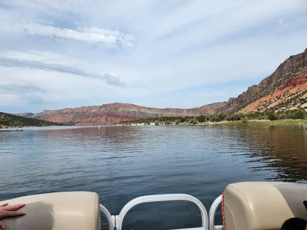
We had an amazing day thanks to the services and kindness of the folks at Cedar Springs Marina. We rented the “upscale” pontoon (highly recommend!) and the staff were courteous and helpful, taking as much time as we needed to make sure we were equipped for our adventure. Loved hearing stories of how the marina started! Of course, the views in the reservoir were stunning and the water was refreshing. Would definitely suggest at least one day on the water if you’re in the area!
Reviews powered by Google. Content belongs to its respective authors.
Typical flow by month
1964 to 2026
The water at Cedar Springs Marina typically runs highest in January, at a median 1,880 cfs, and lowest in March, at 1,110 cfs. The highest flow on record for any single day is 12,300 cfs, in 1983.
| Month | Typical (cfs) | Usual range (cfs) | Relative level |
|---|---|---|---|
| January | 1,880 | 1,050 to 2,420 | |
| February | 1,770 | 1,040 to 2,500 | |
| March | 1,110 | 865 to 2,100 | |
| April | 1,275 | 904 to 2,300 | |
| May | 1,780 | 998 to 3,680 | |
| June | 1,710 | 1,120 to 3,260 | |
| July | 1,650 | 1,170 to 2,490 | |
| August | 1,720 | 1,310 to 2,170 | |
| September | 1,720 | 1,265 to 2,130 | |
| October | 1,450 | 940 to 2,120 | |
| November | 1,500 | 933 to 2,405 | |
| December | 1,850 | 1,060 to 2,580 |
Typical is the median of each month’s daily median values, and the usual range runs from the median 25th to the median 75th percentile, across about 63 years of record. Statistics published by the US Geological Survey for Green River near Greendale, UT (site 09234500). Conditions on any given day can fall well outside the usual range. Check the current reading before you go.
Current conditions
Streamflow
2,830 cfs
Much above normal (93rd)
Water level
10.22 ft
Water
57°F
High today
73°F
Wind
10 kt
Gusts 20 kt
Rain chance
24%
Week ahead
Forecast from Open-Meteo global models (NOAA & ECMWF). See full conditions →
More charters

Also nearby
Other ways to get outside within about an hour of here.
Free tools
Your free outdoor toolkit

Everything Map
Listings, trails, spots, clubs and public land on a single full-screen map. Switch layers on and off, then tap any point for the details.
Open Everything MapRiver Explorer
Explore named rivers from the USGS hydrography dataset. Filter by water type or whitewater class.
Open River ExplorerBoat Launches
Find public boat ramps and hand-launches on a map, with the access details that matter.
Open Boat LaunchesRoute Planner
Drop stops on a map and watch distance and drive time add up. Export a GPX or share the link.
Open Route PlannerBoat Clubs
Browse local clubs with meeting info and how to join, or start your own for free.
Open Boat ClubsLive Conditions
Real-time conditions spot by spot, pulled from public weather feeds, before you commit to the drive.
Open Live Conditions



