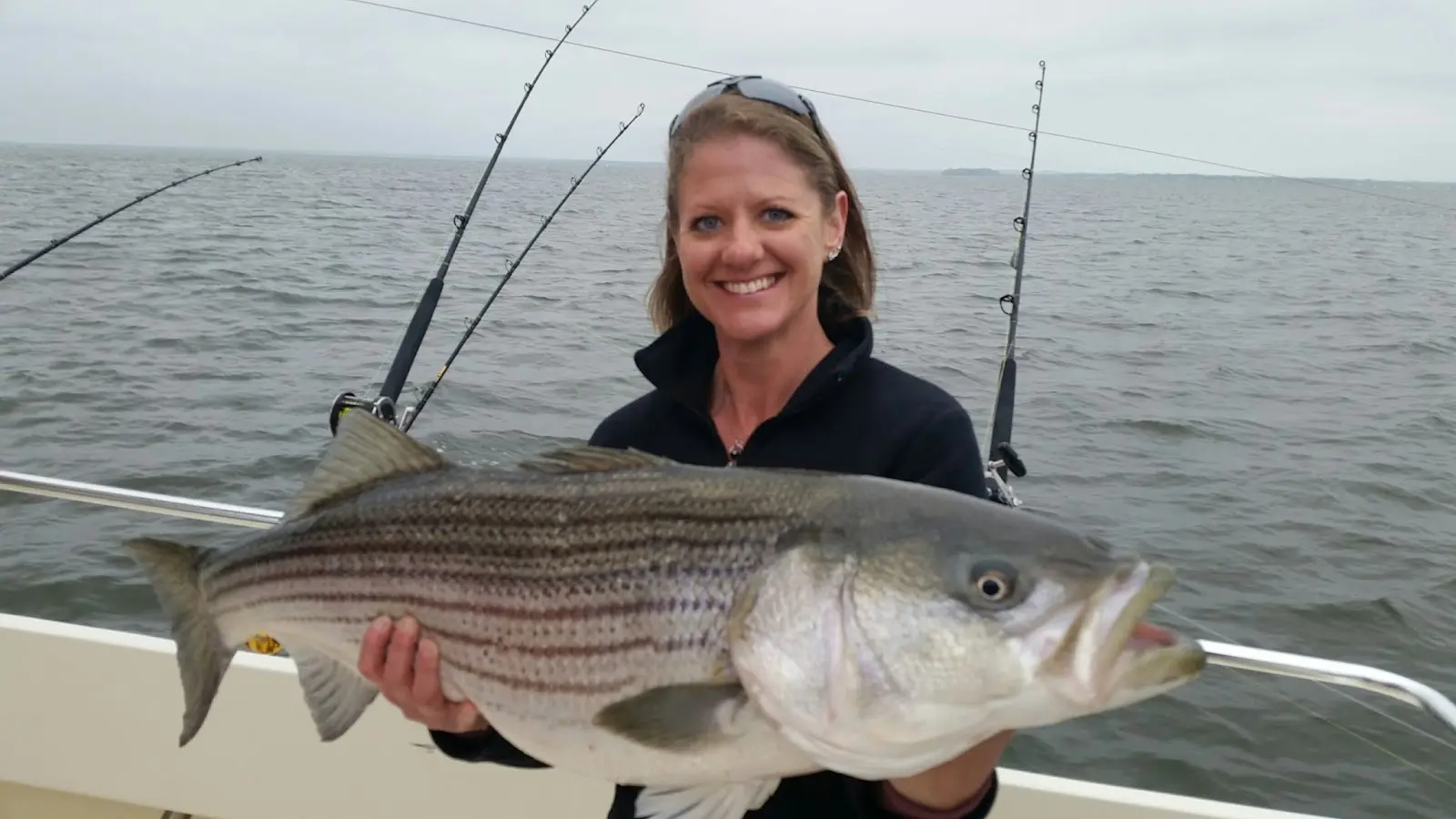
Chesapeake Bay Sport Fishing
About
Gallery
Operator details
- Vessels
- Powerboat
Boater reviews
Rating from Google.
Around here
Around Chesapeake Bay Sport Fishing
- MWR Recreational Lodging - Suites at USNA, Cottages at Greenbury Point, and Campground at NSA AnnapolisRV park · ★ 4.78.8 mi (opens in a new tab)
- Bayshore CampgroundsRV park · ★ 4.415.4 mi (opens in a new tab)
- Washington DC / Capitol KOA HolidayRV park · ★ 4.019.2 mi (opens in a new tab)
- Breezy Point Beach & CampgroundRV park · ★ 4.020.9 mi (opens in a new tab)
- Camp Meade RV ParkRV park · ★ 4.223.8 mi (opens in a new tab)
- Captain John Smith Chesapeake National Historic TrailRecreation area8.1 mi (opens in a new tab)
- Chesapeake BayRecreation area8.1 mi (opens in a new tab)
- Chesapeake Bay Maryland National Estuarine Research ReserveRecreation area9.6 mi (opens in a new tab)
- Eastern Neck National Wildlife RefugeRecreation area11.2 mi (opens in a new tab)
- Patuxent Research RefugeRecreation area24.9 mi (opens in a new tab)
- Chronic SailingBoating · 3-8 Hours7.5 mi (opens in a new tab)
- Annapolis Sailing Cruises: Schooner WoodwindBoat Tour · 120 Minutes8.4 mi (opens in a new tab)
- Catamaran Epiphany Sailing ChartersSailing · 2-7 Hours11.1 mi (opens in a new tab)
- Historic 1935 Lady Patty Sailing CharterSailing · 2-7 Hours11.1 mi (opens in a new tab)
Data Source: Recreation.gov · Source: USGS GNIS · Source: National Park Service. No claim to original U.S. Government works. · Public land: USGS PAD-US
Typical flow by month
1951 to 2025
The water at Chesapeake Bay Sport Fishing typically runs highest in March, at a median 8.6 cfs, and lowest in September, at 3.0 cfs. The highest flow on record for any single day is 703 cfs, in 2011.
Show the numbers
| Month | Typical (cfs) | Usual range (cfs) |
|---|---|---|
| January | 7.0 | 5.0 to 11 |
| February | 7.7 | 5.9 to 13 |
| March | 8.6 | 6.5 to 15 |
| April | 8.1 | 5.9 to 11 |
| May | 5.8 | 4.5 to 8.8 |
| June | 4.1 | 3.4 to 6.7 |
| July | 3.7 | 2.7 to 5.6 |
| August | 3.4 | 2.6 to 4.7 |
| September | 3.0 | 2.5 to 4.3 |
| October | 3.6 | 2.8 to 5.4 |
| November | 5.2 | 4.0 to 8.6 |
| December | 6.1 | 4.5 to 12 |
Typical is the median of each month’s daily median values, and the usual range runs from the median 25th to the median 75th percentile, across about 30 years of record. Statistics published by the US Geological Survey for Sallie Harris Creek near Carmichael, MD (site 01492500). Conditions on any given day can fall well outside the usual range. Check the current reading before you go.
Current conditions
Today · Mon
70Go/ 100
CloudyWaves 1.8 ft61°FRain 1%Wind 19 kt, gusts 30
Waves
1.2 ft @ 2s
Wind
17 kt
Gusts 30 kt
Water
61°F
Air
55°F
Streamflow
2.9 cfs
Below normal (12th)
Water level
0.85 ft
Air quality
33 Good
Horn Point monitor, 40 km
Tides
Rising
High 1.4 ft at 4:51 PM
Predicted at Thomas Point Shoal Light, 6 km away.
Get a 2027 tide calendar for this stationForecast from Open-Meteo global models (NOAA & ECMWF). Air quality: Maryland Department of the Environment via EPA AirNow. Preliminary data, not verified. Tide predictions: NOAA CO-OPS, feet above mean lower low water. See full conditions →
More charters in Maryland
Also nearby
Other ways to get outside within about an hour of here.

Free tools