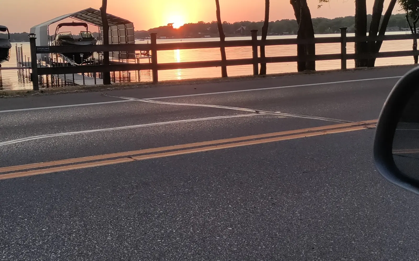
Lindbo Landing Marina
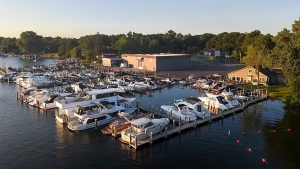
Lindbo Landing Marina is a marina in Excelsior, Minnesota. It is located on Lake Minnetonka and has wet slips and boat lifts for boats up to 28 feet.
Gallery
Operator details
- Vessels
- Powerboat
Boat launches near Lindbo Landing Marina
Loads the full map of the boat launches near this listing. We leave it off by default so the page opens fast on mobile data.
Boater reviews
What boaters are saying
- BBlake Arnold· 9 years ago
My wife and I have kept a boat at Lindbo for the last four summers and have had a great experience. Don and Denise operate a safe, well-run, clean marina and look after our boat as if it were there own. I've seen Don out before storms tying on some extra lines to make sure boats are safe (even though their location rarely gets big winds) and I'm always greeted with a smile and good conversation and an occasional helping had bringing our runabout in. We are very happy to be able to keep our boat with them!
- BBrad Olson· 9 years ago
Limbo Landing is a terrifically located and impeccably maintained location for docking your boat on the Twin Cities most desirable lake. The layout and dock setup lends itself to keeping boats secure with ample and secure parking. The owners are constantly looking for ways to enhance their customers watercraft docking service.
- KKrista Arnold· 9 years ago
Lindbo landing is a FANTASTIC marina. The owners are great and watch over the boats constantly. Can't beat the location either. Minutes away from all the lake bars and main "sunning" areas!
- MMichelle Allaman· 9 years ago
What a fantastic place to have your boat on Lake Minnetonka. Excellent docks, with great personalized service. The best Marina on Lake Minnetonka. You will thoroughly enjoy keeping your boat at Linbo Landing Marina.
Reviews powered by Google. Content belongs to its respective authors.
Typical flow by month
1906 to 2026
The water at Lindbo Landing Marina typically runs highest in April, at a median 1,620 cfs, and lowest in February, at 120 cfs. The highest flow on record for any single day is 22,100 cfs, in 1965.
| Month | Typical (cfs) | Usual range (cfs) | Relative level |
|---|---|---|---|
| January | 126 | 54 to 290 | |
| February | 120 | 50 to 244 | |
| March | 300 | 117 to 796 | |
| April | 1,620 | 607 to 3,085 | |
| May | 1,270 | 456 to 2,590 | |
| June | 1,055 | 347 to 2,145 | |
| July | 639 | 205 to 1,860 | |
| August | 290 | 91 to 793 | |
| September | 199 | 85 to 657 | |
| October | 195 | 76 to 608 | |
| November | 210 | 87 to 767 | |
| December | 168 | 68 to 480 |
Typical is the median of each month’s daily median values, and the usual range runs from the median 25th to the median 75th percentile, across about 105 years of record. Statistics published by the US Geological Survey for Crow River at Rockford, MN (site 05280000). Conditions on any given day can fall well outside the usual range. Check the current reading before you go.
Current conditions
Streamflow
312 cfs
Normal (57th)
Water level
2.55 ft
High today
63°F
Wind
9 kt
Gusts 17 kt
Rain chance
1%
Week ahead
Forecast from Open-Meteo global models (NOAA & ECMWF). See full conditions →
More charters in Minnesota
Also nearby
Other ways to get outside within about an hour of here.

Free tools
Your free outdoor toolkit

Everything Map
Listings, trails, spots, clubs and public land on a single full-screen map. Switch layers on and off, then tap any point for the details.
Open Everything MapRiver Explorer
Explore named rivers from the USGS hydrography dataset. Filter by water type or whitewater class.
Open River ExplorerBoat Launches
Find public boat ramps and hand-launches on a map, with the access details that matter.
Open Boat LaunchesRoute Planner
Drop stops on a map and watch distance and drive time add up. Export a GPX or share the link.
Open Route PlannerBoat Clubs
Browse local clubs with meeting info and how to join, or start your own for free.
Open Boat ClubsLive Conditions
Real-time conditions spot by spot, pulled from public weather feeds, before you commit to the drive.
Open Live Conditions



