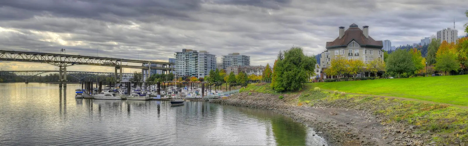
Riverplace Marina
About
Gallery
Operator details
- Vessels
- Powerboat
Boater reviews
Rating from Google.
Around here
Around Riverplace Marina
- Fort Vancouver National Historic SiteRecreation area7.8 mi (opens in a new tab)
- Fort Vancouver Visitor CenterVisitor center8.1 mi (opens in a new tab)
- Tualatin River National Wildlife RefugeRecreation area11.7 mi (opens in a new tab)
- Steigerwald Lake National Wildlife RefugeRecreation area17.6 mi (opens in a new tab)
- Sandy Wild and Scenic RiverRecreation area17.8 mi (opens in a new tab)
- Ridgefield National Wildlife RefugeRecreation area22.5 mi (opens in a new tab)
Data Source: Recreation.gov · Source: USGS GNIS · Public land: USGS PAD-US
Typical flow by month
1973 to 2026
The water at Riverplace Marina typically runs highest in January, at a median 56,000 cfs, and lowest in August, at 8,200 cfs. The highest flow on record for any single day is 420,000 cfs, in 1996.
Show the numbers
| Month | Typical (cfs) | Usual range (cfs) |
|---|---|---|
| January | 56,000 | 32,600 to 88,200 |
| February | 40,800 | 23,800 to 64,400 |
| March | 37,000 | 26,000 to 58,200 |
| April | 32,000 | 24,000 to 44,350 |
| May | 24,400 | 18,000 to 34,000 |
| June | 16,000 | 12,400 to 22,100 |
| July | 9,000 | 7,870 to 10,800 |
| August | 8,200 | 7,500 to 9,440 |
| September | 9,995 | 8,660 to 11,900 |
| October | 13,200 | 11,000 to 16,100 |
| November | 27,700 | 18,200 to 42,900 |
| December | 53,900 | 27,500 to 93,300 |
Typical is the median of each month’s daily median values, and the usual range runs from the median 25th to the median 75th percentile, across about 53 years of record. Statistics published by the US Geological Survey for Willamette River at Portland, OR (site 14211720). Conditions on any given day can fall well outside the usual range. Check the current reading before you go.
Current conditions
Today · Mon
49Maybe/ 100
97% chance of rain · Gusts to 28 kt
RainHigh 57°F, low 45°FRain 97%Wind 13 kt, gusts 28
Streamflow
17,300 cfs
Normal (25th)
Water level
3.13 ft
Water
53°F
Air quality
32 Good
Portland Lincoln High School monitor, 2 km
National Weather ServiceBelow flood stage
Flood stage 18 ft. NWS reads 3.01 ft here.
NWS forecast: 6.79 ft by Fri 7 PM, below flood stage.
Tides
Rising
High 3.5 ft at 4:26 PM
Predicted at Portland Morrison Street Bridge, under 1 km away.
Get a 2027 tide calendar for this stationForecast from Open-Meteo global models (NOAA & ECMWF). Flood stages and forecasts: NOAA National Weather Service. Air quality: Oregon Dept. of Environmental Quality via EPA AirNow. Preliminary data, not verified. Tide predictions: NOAA CO-OPS, feet above mean lower low water. See full conditions →
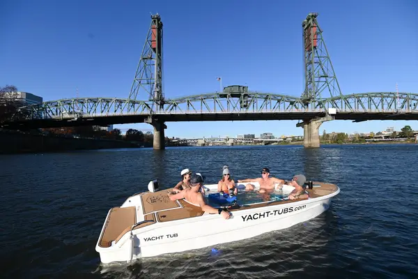
More charters in Oregon


Also nearby
Other ways to get outside within about an hour of here.

Free tools