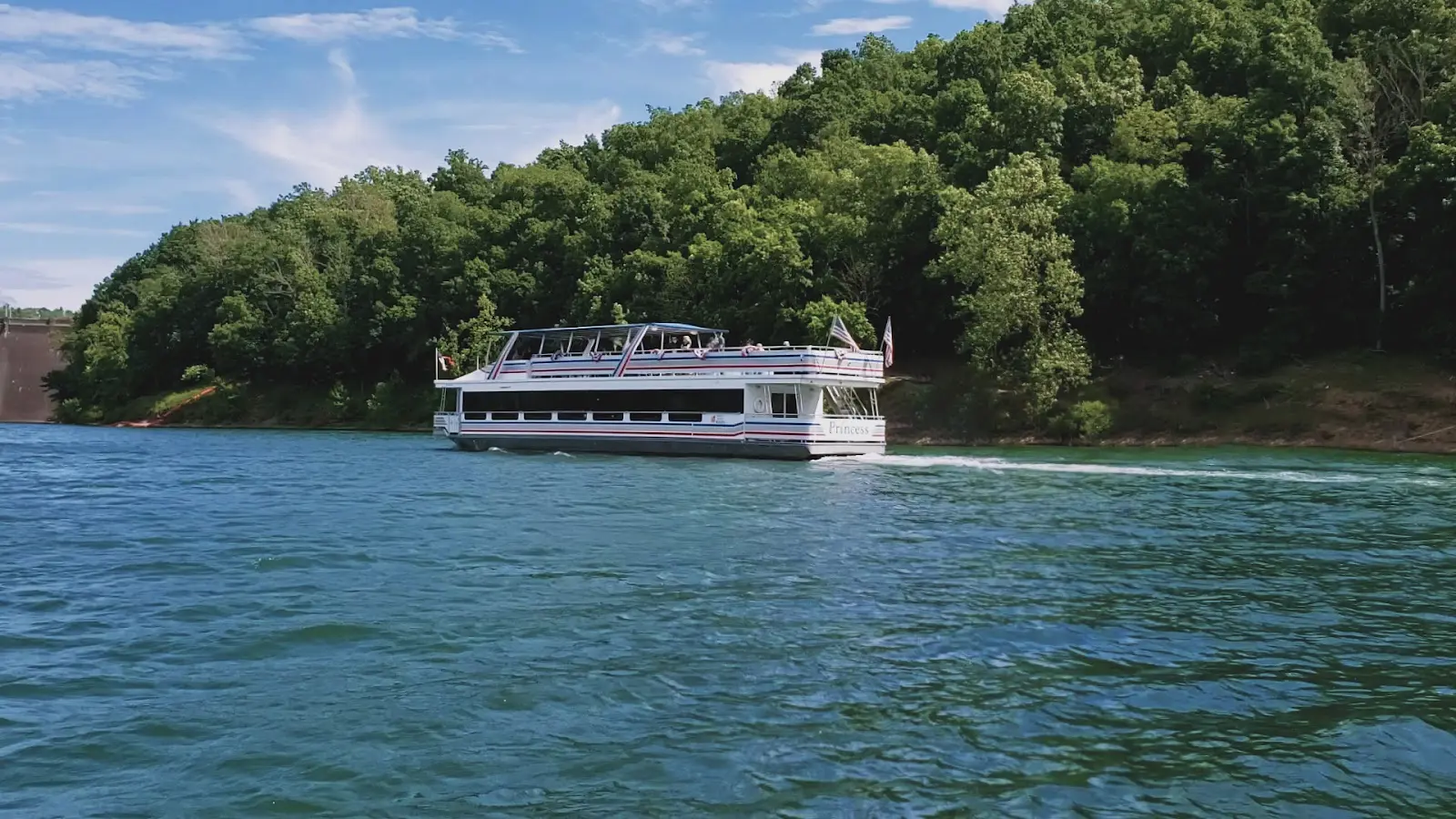
Tygart Lake Marina/Cruises
About
Gallery
Operator details
- Vessels
- Powerboat
Boater reviews
Rating from Google.
Around here
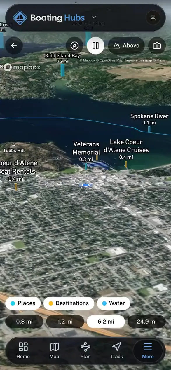
Around Tygart Lake Marina/Cruises
Data Source: Recreation.gov · Public land: USGS PAD-US
Typical flow by month
1938 to 2025
The water at Tygart Lake Marina/Cruises typically runs highest in March, at a median 3,260 cfs, and lowest in July, at 505 cfs. The highest flow on record for any single day is 19,800 cfs, in 2018.
Show the numbers
| Month | Typical (cfs) | Usual range (cfs) |
|---|---|---|
| January | 2,610 | 1,330 to 5,050 |
| February | 3,150 | 1,770 to 5,370 |
| March | 3,260 | 1,760 to 5,690 |
| April | 1,670 | 900 to 3,830 |
| May | 1,410 | 509 to 3,210 |
| June | 710 | 354 to 1,545 |
| July | 505 | 346 to 1,120 |
| August | 578 | 435 to 1,190 |
| September | 642 | 512 to 859 |
| October | 723 | 484 to 1,260 |
| November | 1,150 | 795 to 2,490 |
| December | 2,410 | 1,210 to 4,460 |
Typical is the median of each month’s daily median values, and the usual range runs from the median 25th to the median 75th percentile, across about 64 years of record. Statistics published by the US Geological Survey for Tygart Valley R at Tygart Dam near Grafton, WV (site 03056000). Conditions on any given day can fall well outside the usual range. Check the current reading before you go.
Current conditions
Today · Sun
79Go/ 100
CloudyHigh 53°F, low 42°FRain 1%Wind 11 kt, gusts 20
Streamflow
648 cfs
Normal (26th)
Water level
5.55 ft
Water
59°F
Air quality
31 Good
Parsons monitor, 39 km
Forecast from Open-Meteo global models (NOAA & ECMWF). Air quality: EPA Office of Atmospheric Protection via EPA AirNow. Preliminary data, not verified. See full conditions →
More charters in West Virginia

Also nearby
Other ways to get outside within about an hour of here.



Free tools