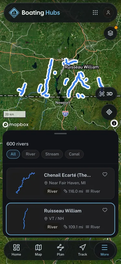
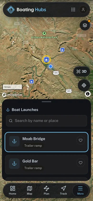
Around here
Around Rivière Lacolle
Data Source: Recreation.gov · Source: Canadian Geographical Names Database (NRCan), Open Government Licence - Canada · Public land: USGS PAD-US
About this river
Rivière Lacolle is a 9.8 mile river near North Hero Marina in Vermont. Streamflow is measured at the Quebec government gauge Rivière Lacolle, À Lacolle à 50 m en aval du pont-route de l'Église Sud (site CEHQ-030431). Reach geometry comes from Natural Resources Canada's National Hydro Network.
Embed this gauge on your site
Paste this snippet anywhere, an outfitter page, a club site, a trip report, to show Rivière Lacolle's live streamflow, water level and 7-day trend. It reads the USGS gauge directly, updates itself, and links back here.
See every free widget you can put on your site, including live conditions and a 7 day forecast.