River Explorer
Explore navigable rivers
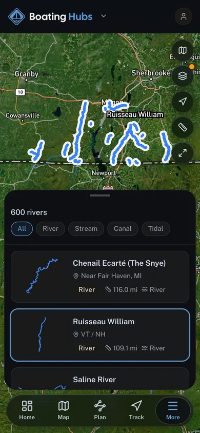
Named rivers across the Boating Hubs network, sourced from the USGS National Hydrography Dataset. See where each one runs on a map, filter by water type, then find the outfitter who runs it.
6,058 rivers
The map plots a nationwide sample of 3,011 of 6,058 rivers. Search or filter to map the rest.
Browse rivers by state
- Free to browse
- USGS-sourced rivers
- Open in the app for live flow and tracking
River data from the USGS National Hydrography Dataset (public domain). Live flow, where shown, from USGS Water Data.
More free tools
Other tools in this kit

Everything Map
Listings, trails, spots, clubs and public land on a single full-screen map. Switch layers on and off, then tap any point for the details.
Open Everything MapBoat Launches
Find public boat ramps and hand-launches on a map, with the access details that matter.
Open Boat LaunchesDaily Cruise
Every day picks a real place from the map and turns it into a quick 3D time trial. Real geometry, real conditions, same course for everyone.
Open Daily CruiseRoute Planner
Drop stops on a map and watch distance and drive time add up. Export a GPX or share the link.
Open Route PlannerBoat Clubs
Browse local clubs with meeting info and how to join, or start your own for free.
Open Boat ClubsLive Conditions
Real-time conditions spot by spot, pulled from public weather feeds, before you commit to the drive.
Open Live Conditions