Around here
Around Skipton Landing
Loading map…
- Eastern Neck National Wildlife RefugeRecreation area12.4 mi (opens in a new tab)
- Captain John Smith Chesapeake National Historic TrailRecreation area22.8 mi (opens in a new tab)
- Chesapeake BayRecreation area22.8 mi (opens in a new tab)
- Chesapeake Bay Maryland National Estuarine Research ReserveRecreation area24.1 mi (opens in a new tab)
- Catamaran Epiphany Sailing ChartersSailing · 2-7 Hours10.8 mi (opens in a new tab)
- Historic 1935 Lady Patty Sailing CharterSailing · 2-7 Hours10.8 mi (opens in a new tab)
- Chronic SailingBoating · 3-8 Hours22.4 mi (opens in a new tab)
- Annapolis Sailing Cruises: Schooner WoodwindBoat Tour · 120 Minutes23 mi (opens in a new tab)
Data Source: Recreation.gov · Source: USGS GNIS · Source: National Park Service. No claim to original U.S. Government works. · Public land: USGS PAD-US
Made to print
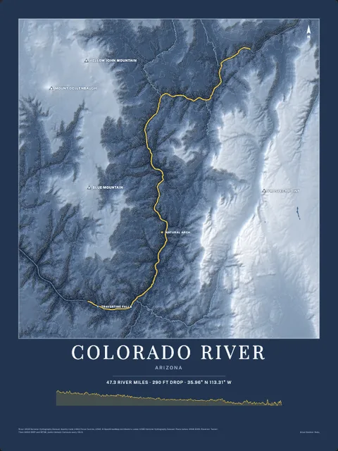
Put Skipton Creek on your wall
The water here as an art print: the shoreline, the rivers, lakes and sea around it and the land behind them, drawn from real elevation, USGS and OpenStreetMap data. Frame it tighter or wider before you print. Pick the colors and the size, and see the finished print before you buy. From $39, shipping included.
Make the posterOrder by December 8 for Christmas delivery.
More launches near Chesapeake Bay Sport Fishing
Browse all boat launches