
Marinas · California
Marinas in California
Cruise 11 marinas across California. Maps, hours, contact info, photos, and verified operator profiles, all in one place.
Coastline, Sierras, deserts, and redwoods. Every outdoor environment in one state.
About California
Best time to go
When to cruise in California
Year-round. Conditions vary dramatically by region.
- March–May and October–November: warm, calm, comfortable
- Summer: boat early to beat afternoon thunderstorms
- June–November: hurricane season, so watch the tropics
11 on the map
Tap a pin to open its profile.
Quick facts
- Boat launches mapped
- 163
- Rivers mapped
- 97
- Marinas listed
- 11
- Best season
- Year-round
All listings
11 marinas
across California


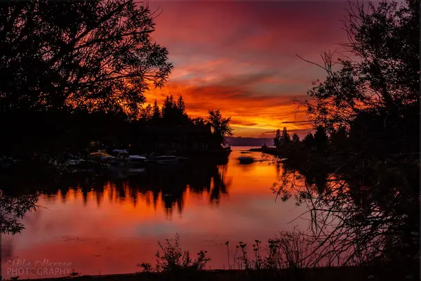
Watch it live
Live webcams in California
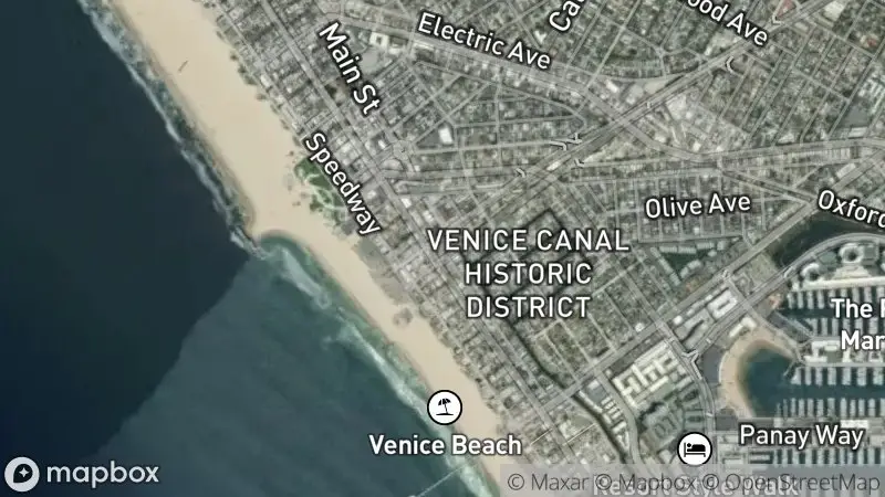 Location
Venice Beach
via HDOnTap
Watch live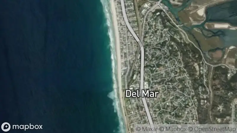 Location
Del Mar Beach (North)
via HDOnTap
Watch live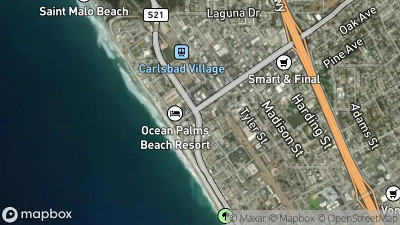 Location
Carlsbad State Beach
via HDOnTap
Watch livePlan your trip
Plan your trip to California
Signature Waters
California's boating encompasses the Pacific Ocean coastline, major bays like San Francisco and San Diego, the vast Sacramento-San Joaquin Delta, and numerous freshwater lakes including Tahoe, Shasta, and Big Bear. Each offers unique conditions and attractions, from ocean swells and strong bay currents to calm delta sloughs and high-altitude alpine waters.
Boating Season
While coastal and southern bay areas offer year-round boating, the prime season generally runs from late spring through fall. High Sierra lakes are typically accessible from late spring to early fall, depending on snowmelt. The Delta provides excellent conditions from spring through early autumn.
Slip & Transient Dockage
Marina slips and transient dockage are highly sought after, especially during summer weekends and holidays. Reservations are strongly recommended, often several months in advance for popular destinations like the Channel Islands or busy coastal marinas. Some smaller facilities may offer first-come, first-served options.
Fuel & Pump-out Access
Most major marinas throughout California provide fuel docks for both gasoline and diesel, along with pump-out stations for marine sanitation devices. It is advisable to verify availability and operating hours with smaller or more remote marinas before arrival, especially in the Delta or less developed lake regions.
Weather & Wind Considerations
Coastal areas frequently experience morning fog, particularly in summer, which usually burns off by midday. Strong afternoon winds are common in areas like San Francisco Bay. Ocean swells can be significant, especially outside protected bays. Inland regions can experience extreme heat in summer, while mountain lakes are subject to rapid weather changes and afternoon thunderstorms.
Confirm current requirements with the state agency before your trip. Rules and fees change every season.
California Boater Card
Operators of motorized vessels on California waterways are required to possess a California Boater Card. The requirement was phased in by age group between 2018 and 2025; as of January 1, 2025 it applies to all operators regardless of age, with no remaining age-based compliance dates.
Vessel Registration
All motorized vessels and sailboats over eight feet in length operating on California waters must be registered with the California Department of Motor Vehicles (DMV). Registration decals must be displayed on both sides of the bow. Non-motorized vessels like kayaks, canoes, and stand-up paddleboards are generally exempt.
Quagga/Zebra Mussel Prevention
To prevent the spread of invasive quagga and zebra mussels, vessels entering many California freshwater bodies, particularly reservoirs and lakes, may be subject to mandatory inspection and decontamination. Boaters should clean, drain, and dry their vessels thoroughly before launching into any new waterway and be prepared for inspections.
Marine Sanitation Devices
California has strict regulations regarding the discharge of sewage from vessels. All recreational vessels with installed toilets must be equipped with a Coast Guard-approved Marine Sanitation Device (MSD). Discharge of untreated sewage is prohibited in all California waters, and many areas are designated No Discharge Zones (NDZs). Verify specific NDZ boundaries with local authorities.
- 01
1. Define Your Desired Experience
Ocean cruising, Bay sailing, lake days, or river exploring, pick the trip before the place. That single decision drives your region, your vessel type, and which marinas and charter fleets matter to you.
- 02
2. Research Specific Regions & Conditions
Dig into the weather patterns, currents, and navigation quirks of your chosen water. The coast, the Delta, and the mountain lakes each play by different rules, and the amenities vary just as much.
- 03
3. Verify Boater Education & Vessel Requirements
Confirm every operator meets the California Boater Card requirement and that your vessel, owned or chartered, is properly registered and equipped. For freshwater destinations, take the invasive-species rules seriously.
- 04
4. Secure Dockage or Charter Reservations
California's popular marinas and charter fleets fill fast, especially at peak. Reserve transient slips, moorings, or charter boats well ahead, the good spots reward planners.
- 05
5. Plan Your Route & Safety Protocols
Study the charts, learn the local aids to navigation, and settle your emergency procedures before you cast off. Check the marine forecast before and during the trip, and file a float plan every time.
01How many marinas are listed in California?
02Do I need a boater education card to operate a boat in California?
03Are there different regulations for freshwater lakes versus coastal waters?
04What is the best time of year to charter a boat in California?
05How do I find transient slips or moorings at marinas?
06Are there any special environmental regulations I should be aware of?
07Can I charter a boat in California without owning one?
Watch & learn
Watch & learn, California
Boating the 1644ft deep- Lake Tahoe. + Bear tries to steal cookies.
Tahoe Mountain Life
0Nautical Access Boating Club: Explore The San Francisco Bay By Boat 🛥
Passage Nautical Enterprises
0Anacapa Island Day Trip in Channel Islands National Park
California Through My Lens
0
Free tools
Your free outdoor toolkit

Everything Map
Listings, trails, spots, clubs and public land on a single full-screen map. Switch layers on and off, then tap any point for the details.
Open Everything MapRiver Explorer
Explore named rivers from the USGS hydrography dataset. Filter by water type or whitewater class.
Open River ExplorerBoat Launches
Find public boat ramps and hand-launches on a map, with the access details that matter.
Open Boat LaunchesRoute Planner
Drop stops on a map and watch distance and drive time add up. Export a GPX or share the link.
Open Route PlannerBoat Clubs
Browse local clubs with meeting info and how to join, or start your own for free.
Open Boat ClubsPhoto ID
Point your camera at whatever you found and get a structured identification. No signup.
Open Photo ID



