Skip to content

Norwalk Sailing School

Nissequogue River near Norwalk Sailing School

Stream8.4 mi
Loading map…

About this river

Nissequogue River is an 8.4 mile stream near Norwalk Sailing School in Connecticut. The mapped line runs from 40.9073, -73.2332 to 41.0264, -73.2504. The National Hydrography Dataset places it at stream order 4. Reach geometry comes from the USGS National Hydrography Dataset.

In your pocket

Take every launch with you.

Free, no account needed. Ramps, marinas, marine conditions, and maps in your pocket.

  • Every marina and boat ramp in your pocket

  • File a float plan and ETA before you cast off

  • Harbor and inlet webcams before you tow

  • GPS tracking that keeps recording beyond cell coverage

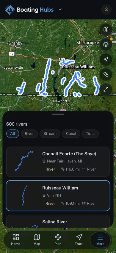
A river reach selected out of the mapped river network in the Boating Hubs app

For operators

Run your boating business?
Launch your branded surface.

Get your own branded surface in the Boating Hubs app and a directory listing in minutes. Bookings, digital waivers, and your whole operation live in one cockpit.
