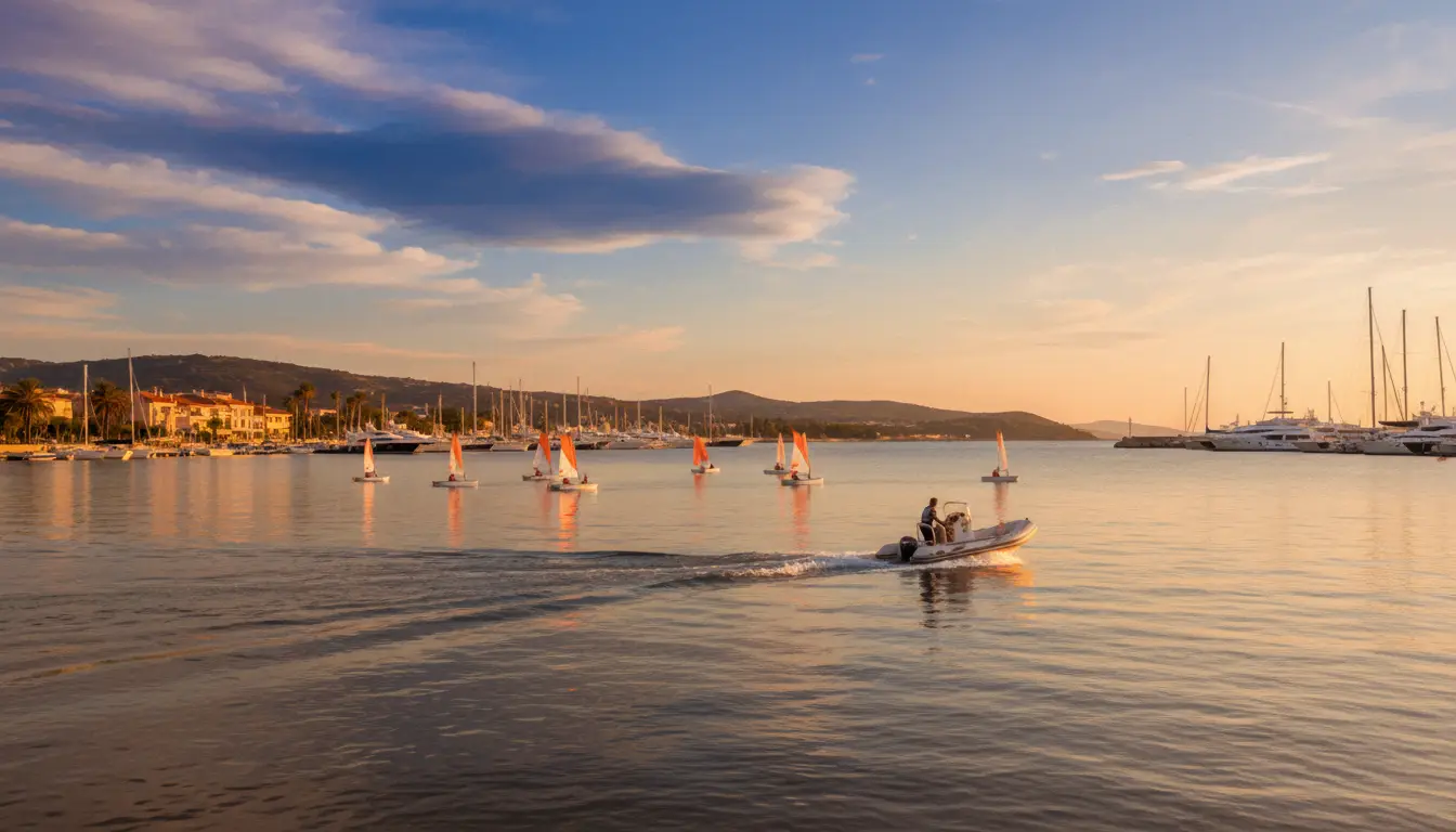
Lessons · South Carolina
Lessons in South Carolina
2 operators across South Carolina.
South Carolina boating
Salt marsh, tidal creek, open Atlantic, the South Carolina coast reads like a chart full of choices. The Intracoastal Waterway threads the length of it, linking Beaufort, Georgetown, and Charleston, three towns where the docks sit within walking distance of real history. This is the Lowcountry: barrier islands, working estuaries, and passes out to blue water, with everything from an idle afternoon cruise to a deep-sea fishing run on the table. Marinas along the route are built for transients and know how to take care of them.
Inland, the state trades salt for fresh without losing much. Lake Murray, near Columbia, draws powerboats, sailors, and skiers to a shoreline full of coves and islands. Farther west, Lakes Hartwell, Keowee, and Jocassee sit against the Upstate's mountain backdrop: clear water, quieter cruising, and scenery that keeps people coming back. The marinas on these lakes carry fuel, slips, and repair services, so a freshwater trip runs on the same easy logistics as a coastal one.
About lessons
ASA / US Sailing schools, captain's license courses, and powerboat training.
Quick facts
- Best season
- October through May
Operators
Lessons charters
Loads the full map of every listing on this page. We leave it off by default so the page opens fast on mobile data.
Nearby states
Resources
More to explore in Lessons
Hand-picked videos and free guides from the community to help you plan your next trip.
Videos worth watching
Hand-picked clips, sorted by what you do.
Learn How to Sail: A Step-by-Step Guide to SAILING
Josh Post
Docking A SINGLE Engine Boat SIDEWAYS!
Born Again Boating
How To Trim Your Boat (Basics Of Boat Trim) | BoatUS
BoatUS
How To Trim Your Boat (Boat Trim Basics)
Len's Cove Lessons in Boating
All Boaters Must Know This! ~ How To Navigate the ICW | Boating 101 Navigation Tutorial
ReelReports
Boating for Beginners - Boating Basics - How to Drive a Boat
Flukemaster
Guides worth reading
Trip briefs, prep checklists, and how-tos. Free to read.


Free tools
Your free outdoor toolkit

Everything Map
Listings, trails, spots, clubs and public land on a single full-screen map. Switch layers on and off, then tap any point for the details.
Open Everything MapRiver Explorer
Explore named rivers from the USGS hydrography dataset. Filter by water type or whitewater class.
Open River ExplorerBoat Launches
Find public boat ramps and hand-launches on a map, with the access details that matter.
Open Boat LaunchesRoute Planner
Drop stops on a map and watch distance and drive time add up. Export a GPX or share the link.
Open Route PlannerBoat Clubs
Browse local clubs with meeting info and how to join, or start your own for free.
Open Boat ClubsPhoto ID
Point your camera at whatever you found and get a structured identification. No signup.
Open Photo ID



